David McNew | Getty
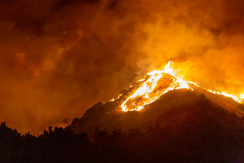
In the late hours of October 23, Craig Clements was grading papers when a colleague in Oakland texted him about a rapidly growing wildfire just north of San Francisco. He texted a few of his students, who jumped out of bed and rushed his way. Together they loaded a radar-packing Ford F-250 pickup with gear and hit the road, gathering the Oakland colleague on their way to the Kincade Fire, which would quickly become California’s biggest blaze of 2019.
Clements, a fire weather researcher at San Jose State University, and his team arrived around 1am, driving past fire engines and evacuating locals as they steered toward the blaze. Normally they would check in with an incident command post first, where officials could tell them where the wildfire might be heading, but the conflagration was still too young and chaotic for such organization. So they drove on, trying to position themselves near but not too near the growing plume, searching for a spot not surrounded by brush or traffic, away from power lines that could fall on their heads. On their map they found a road leading to a vineyard—lots of vegetation, sure, but chock full of water and therefore quite resistant to burning—and turned in, landing a kilometer from a ridge line the fire was burning up to.

A wildfire is a phenomenon of almost impenetrable complexity. Different kinds of brush burn at different rates, and even the same kind of brush can burn differently depending on hydration and humidity, which change hour by hour. Topography affects the trajectory of a fire, as does wind. For Clements, the goal is to better understand how wildfires can create their own weather and how the dynamics of the plumes affect the fire’s spread.
“Everybody on Twitter is an expert on wildfire science, but nobody's actually been to one,” Clements says. “We're the only meteorological team in the United States with this capability, because we're fire-line qualified.” They go through special training and carry special equipment that could save their lives, like fire shelters. “It's like a foil bag that you wrap your body in. And you get down on the ground and you hope to hell that you don't need it.”

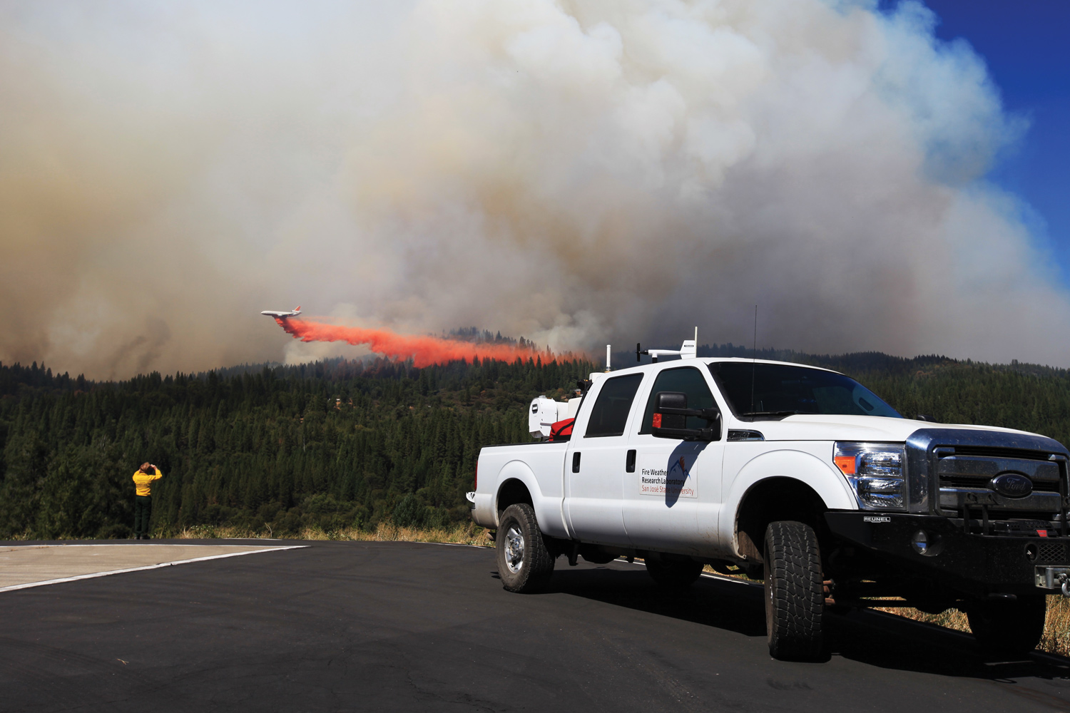
Scanning the 2014 King Fire with Doppler radar as VLAT drops fire retardant ahead of the fire front.
Braniff Davis, SJSU Fire Lab
There in the vineyard, though, Clements and his team were insulated in green vegetation, at a distance from the advancing blaze. With their radar now firing its radio signals, they began peering into the Kincade Fire’s plume.
While the doppler radar for your local weather report picks up hail and water droplets, this specialized device operates on a different frequency that can pick up ash particles and other debris. “The plume was sitting about a kilometer above the ground,” Clements says. “As the fire got more vigorous, we couldn't see the fire, but we could see the radar showing the plume punching up to almost three kilometers.”
A glowing leaf landed nearby: it was a firebrand, the lit pieces of debris that winds pick up that can make California’s wind-driven blazes especially hard to contain. By flying perhaps miles ahead of the main blaze and starting new fires, firebrands can overwhelm crews. Last weekend in Northern California, winds blew firebrands clear across the Carquinez Strait, starting a new fire on the other side. In cities they can land on roofs and start a constellation of new fires, as happened in last year’s deadly Camp Fire, which obliterated the town of Paradise.
With plenty of green vegetation in the researchers’ vineyard, the smoldering leaf was harmless. But it’s these airborne threats that brought Clements out in the first place. By tracking the firebrands with radar, he can start to better understand how far these things can travel. “We can get the altitude of what we think the embers were,” he says, “and then we can use that information to create a model that actually forecasts spot fires correctly.”
With radar, the team can also better understand the atmospheric eccentricities of the wildfire itself. The conflagrations can grow so massive and intense that they create their own weather: as hot air rises, additional air rushes in at ground level to replace it. If the conditions are right, this kind of atmospheric disturbance can actually create fire tornadoes—140-mile-per-hour winds of swirling hot gas and debris, much of it aflame. It’s as close as you can get to hell on Earth.
Better understand the dynamics of the plume, and you can better understand the nature of wildfire. “Believe it or not, this is the most neglected phenomenon on the planet,” Clements says. “It's like chasing tornadoes 30 or 40 years ago.” Only in addition to unraveling the atmospheric dynamics, researchers have to consider how fuel burns and how topography influences fire and any number of other complicating factors. But every little bit of data, and every nerve-wracking drive into a firestorm, will help California navigate its epic trial by wildfire.
This story originally appeared on wired.com.
